Hiking Maps
Norwalk River Watershed Association
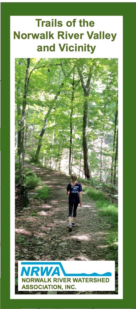
“Trails of the Norwalk River Valley and Vicinity”
Send your order details: name, mailing address, number of maps to info@norwalkriver.org
Trail Maps
Our trail map includes the current and future Norwalk River Valley Trail system as well as trails throughout the watershed and surrounding vicinity including Norwalk, Wilton, Ridgefield, Redding, Weston and Lewisboro, NY. This folded, double sided, pocket-size map shows the entire region from Norwalk Harbor through Ridgefield and up to Danbury. The flip side includes local, featured trails and information about the Norwalk River watershed. We ask a suggested donation of $10 per map to help cover the cost of printing and mailing the maps.
